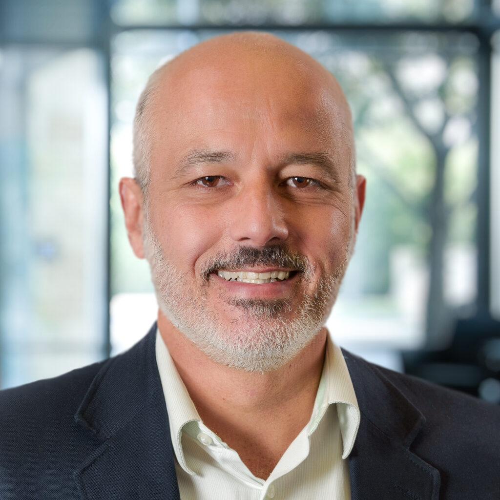
Luiz Cortes has over 30 years of experience in the aerial mapping, surveying, and remote sensing. As the operations Manager for Aerial-GIS in the east region, Luiz applies his knowledge and experience with geospatial surveying and mapping in projects involving aerial and mobile LiDAR, photogrammetry, and GIS. He has supervised and managed many mapping projects, using photogrammetric cameras and LiDAR for high accuracy engineering design and GIS mapping.
Luiz has a bachelor’s degree in Civil Engineering with specialization in Geodesy, Photogrammetry and Cartography from the University of Rio de Janeiro, Brazil. He moved to the US in 1997 after working for an American mapping firm in Brazil. He is a Certified Photogrammetrist with the American Society for Photogrammetry and Remote Sensing (ASPRS), a Professional Surveyor and Mapper (PSM) in Florida, and Professional Licensed Surveyor in North Carolina, South Carolina and Virginia.
Luiz’s favorite core value is Integrity and Ethics. He believes this value summarizes all other SAM core values, where everyone is treated with respect and clients receive the best service possible. Luiz is active in his community, volunteering to serve in homeless shelters. Luiz was born and raised in Rio de Janeiro, Brazil. He speaks Portuguese and English and is able to communicate in Spanish. Luiz lives in Charlotte, NC and enjoys playing soccer (the beautiful game), spending time with his wife, three adult children, a son-in-law, a daughter-in-law, and five grandchildren.

