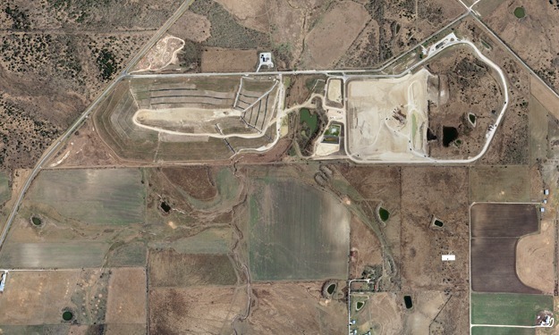
The task: Produce plan/topo/orthophoto maps at a scale of 1”=100’ of six landfill sites within a three month window to satisfy local regulators and future capacity projections.
SAM helped this landfill operator meet their annual mapping needs for the past seven years. The maps are used to assess local regulatory compliance and to determine waste cell capacities for operational planning. Consulting with the landfill staff, SAM photogrammetrists assisted the site engineers in customizing the mapping products to best suit their needs.


