UTILITY ENGINEERING

SAM Technology Symposium & Hospitality Event
A Discussion on Managed Geospatial Services ™
25 June, 2024 | 5:00 PM - 8:00 PM Hilton Anatole 2201 N Stemmons Fwy, Dallas, TX 75207 The Metropolitan Room
Reimagining Infrastructure Design and Operation
Utility Engineering combines elements of Geophysics, Geomatics, and Civil Engineering to advance the design and operation of utility infrastructure. SAM possesses these professional qualifications and has the experience to employ a suite of geophysical techniques to acquire, document, and analyze the distribution and location of buried utilities. The scientific methods include acoustic, electrical, magnetic, and sled or vehicle-mounted ground penetrating radar (GPR). Locating and tying together the visible surface utility features on and above the earth’s surface creates a comprehensive 3D digital model of all utilities. Understanding existing utilities is essential to increasing public safety and avoiding costly delays in accelerating new infrastructure expansion. SAM Vantage™, our proprietary software, and integrated instruments, gain functional insight into existing conditions to accelerate field-to-office management of Geospatial data.
UTILITY ENGINEERING SOLUTIONS
Subsurface Utility Engineering (SUE)
Subsurface Utility Engineering (SUE)
Damage Prevention
Damage Prevention
Utility Coordination
Utility Coordination
Vacuum Excavation
Vacuum Excavation
Fiber Engineering
Fiber Engineering
ADVANCED TECHNOLOGIES
Mobile Mapper
With 3.6 million measurements per second, this dual scan mobile mapping system is ideally suited for rapidly collecting survey-grade high-fidelity LiDAR and imagery for utility and transportation infrastructure.
Impulse Radar Raptor
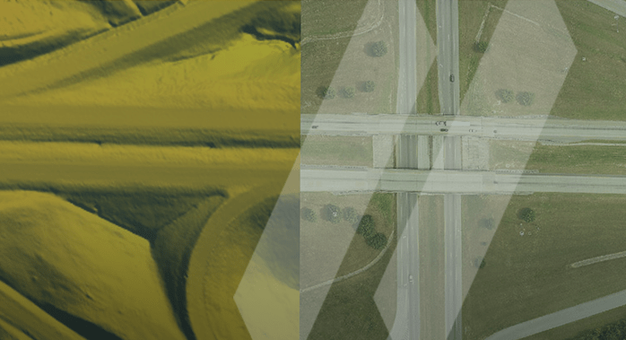
3D ground penetrating radar (GPR) that captures high-quality underground utilities for the entire travel path width at normal driving speeds.
SAM Vantage™
Our utility locating solution provides rich visual context of above and below ground assets by delivering real-time 3D field location, documentation, mapping, and improved team collaboration enabling utilities to make better decisions for managing assets, from engineering due diligence, through design, development, and operations.
WHO WE SERVE
Transportation
Electric
Renewables
Water
Telecom-Fiber
Natural Gas
Government
Commercial
Industrial
Natural Resources
WHY SAM?
SAM has built a reputation as a trusted, knowledgeable, and innovative partner.
SAM transforms petabytes of complex spatial data into intelligent insights in a holistic Managed Geospatial Services™ (MGS™) framework. MGS™ is the digital ecosystem that simplifies the complicated so our clients can achieve the impactful outcomes that drive their business forward.
As North America’s premiere MGS™ company, SAM provides practical, precise, and high-fidelity solutions designed to enhance decision-making, mitigate risks, achieve strategic objectives, and drive costs out of our client’s business. Our vision is to advance spatial data acquisition, improve analysis capabilities, and develop predictive analytics to redefine and transform how infrastructure assets are developed and managed throughout their lifecycles.
OUR PEOPLE
SAM’s licensed professionals, certified safety and risk managers, data scientists, and financial analysts, bring exceptional experience and expertise to utility engineering programs.
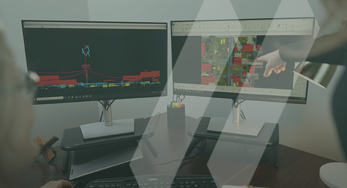
3D INSIGHTS FOR UTILITY ENGINEERING AND MAPPING
Visualize underground utility infrastructure to make informed business decisions in a holistic Geospatial Managed Service™ framework.


