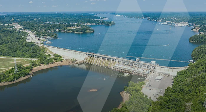
Natural Water Resources and Supporting INfrastructure
Effectively Managing Water Infrastructure
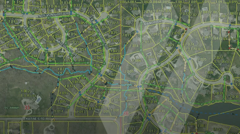
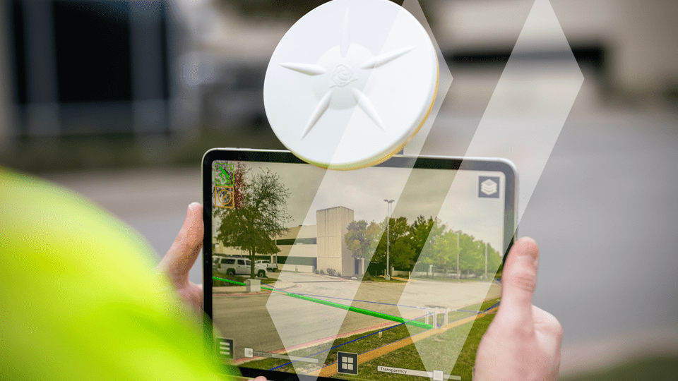
Capturing, storing, and safely distributing water requires trusted visibility into surface and subsurface infrastructure conditions. SAM provides a comprehensive suite of Geospatial and Inspection methods to improve operational efficiency for water authorities and local governments managing aging infrastructure or building new.
Collectively known as Managed Geospatial Services™ (MGS), SAM can solve many water infrastructure challenges. There are several compelling reasons why well-planned, well-organized Geospatial data is essential. First and foremost, world-class Geospatial data management drives higher business value. It provides the foundation for organizations to manage their digital information as a trustworthy asset they can rely on for informed decisions that drive costs out of operation. It ensures that internal and external data sources are of the highest quality, thus enhancing customer service. A holistic MGS framework increases collaboration across an organization because everyone works off the same version of the truth.
Trusted, Knowledgeable, and Innovative Insights
Effectively managing available water resources is vital to our future. Increased demand and arid conditions have impacted the already scarce water resources in many parts of the western and southwestern United States. SAM offers Managed Geospatial Services™ to create the structure to support data-driven, informed business decisions to solve water resource challenges. MGS allows clients to focus their managers on the right work that returns the highest value to the organization. SAM will introduce and optimize the best Geospatial data management practices for your assets. It’s the critical first step for obtaining optimal performance for your organization.
Our People
SAM’s professionals can ensure that you possess the right Geospatial data management tools and strategies to maximize performance for water resources and infrastructure improvements.
Why Sam?
SAM has built a reputation as a trusted, knowledgeable, and innovative partner.
SAM transforms petabytes of complex spatial data into intelligent insights in a holistic Managed Geospatial Services™ (MGS™) framework. MGS™ is the digital ecosystem that simplifies the complicated so our partners can achieve impactful outcomes for their communities.
As North America’s premiere MGS™ company, SAM provides practical, precise, and high-fidelity solutions designed to enhance decision-making, mitigate risks, achieve strategic objectives, and drive costs out for stakeholders. Our vision is to advance spatial data acquisition, improve analysis capabilities, and develop predictive analytics to redefine and transform how infrastructure assets are developed and managed throughout their lifecycles.
Utility Expertise that Delivers
Get a comprehensive view of your water infrastructure – our experts are ready to partner with you to gather the data you need to make informed decisions.


