
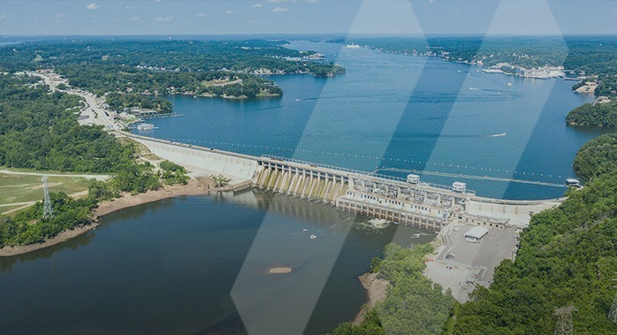
Commercial & Industrial
Your Facility, Mapped and Maximized
For facilities management, it’s data that powers decisions.
That’s why SAM delivers turnkey 3D Building and Digital Twin solutions that empower manufacturers to confidently plan, expand, or optimize their facilities.
With our RapidScan laser technology, create A ready-to-use immersive digital twin to help get the most out of your assets, operations and investments.
SOLVE CHALLENGES WITH SAM
Outdated Documentation
Eliminate manual Updates and incomplete P&IDs or as-builts
Renovation & Expansion Risks
Avoid costly mistakes with real-world Verified data
Regulatory Compliance & Safety
Maintain up-to-date facility data for remote inspections and audits
Inefficient Space Utilization
Optimize asset layouts to maximize your space and efficiency
Diconnected Stakeholders
Get aligned on investment decisions through virtual facility walkthroughs
ONE DATA SOURCE. SMARTER STRATEGY. ULIMITED GROWTH.
10X FASTER
10X FASTER
30+ YEARS
30+ YEARS
40M SQFT
40M SQFT
INTUITIVE PLATFORM
INTUITIVE PLATFORM
ONGOING SUPPORT
ONGOING SUPPORT
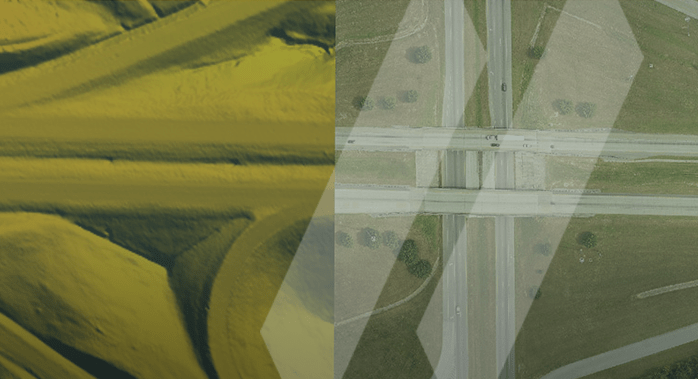
MANAGED GEOSPATIAL SOLUTIONS™
Boundary
Boundary
ALTA
ALTA
Site Layout and Staking
Site Layout and Staking
Terrestrial Scanning
Terrestrial Scanning
Scan-to-BIM
Scan-to-BIM
Digital Twins
Digital Twins
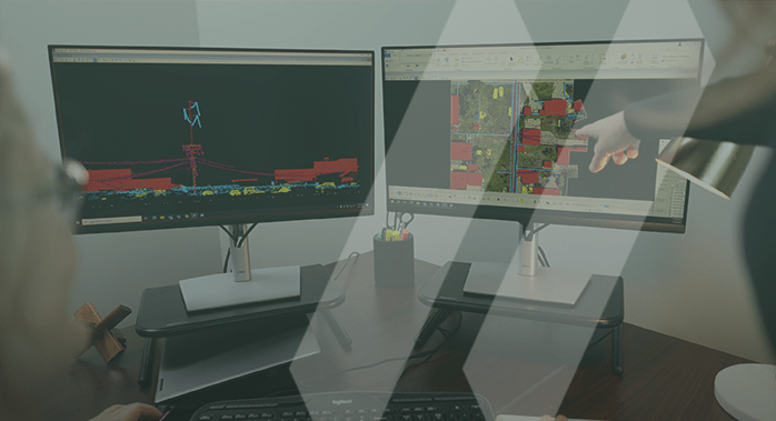
See More. Do More. For facilities management, it’s data that powers decisions.
SAM’s Facilities Management Solutions provide clients with a unified data source and a true 3D visualization of their assets — unlocking information and empowering teams to act on smarter, proactive decisions about maintenance, strategic initiatives, and day- to-day operations.
Safety is our Number one Priority
At SAM, our commitment to safety and security is more than compliance; it’s a collaborative promise to our employees and clients. Our core value of safety is embedded in every facet of our Managed Geospatial Services™, from foundational policies to proactive management and continuous improvement.
OUR PEOPLE
SAM’s team of licensed professionals bring trusted experience, knowledge, and innovation to every service engagement.


WHY SAM?
SAM has built a reputation as a trusted, knowledgeable, and innovative partner in the oil and gas industry.
SAM transforms vast amounts of complex spatial data into intelligent insights within our holistic Managed Geospatial Services™ (MGS™) framework. MGS™ is the digital ecosystem that simplifies complexity, enabling oil and gas clients to make informed decisions that enhance efficiency, ensure regulatory compliance, and optimize infrastructure performance.
As North America’s premier MGS™ company, SAM delivers practical, precise, and high-fidelity solutions designed to improve asset management, mitigate risks, support strategic objectives, and drive costs out of operations. Our vision is to advance spatial data acquisition, enhance predictive analytics, and revolutionize how oil and gas infrastructure is planned, built, and maintained throughout its lifecycle.
Capture. Visualize. Optimize.
Enhance efficiency, accuracy, and collaboration with SAM’s advanced full suite services for commercial and industrial projects. Contact us today to see how our expertise can bring your vision to life.