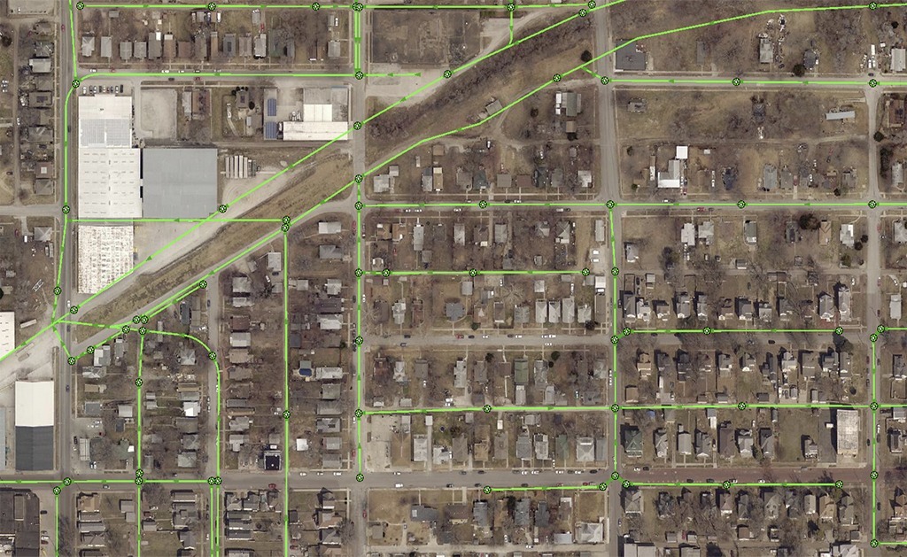
This project objective was to provide exceptional GIS and utility mapping services through a “Master Agreement” for on-call GIS services to the City of St. Joseph.
SAM (formerly Midland GIS Solutions) has provided GIS and GPS services to the City of St. Joseph since 2003 and has successfully completed all requested services through three (3) concurrent “Master Agreements” for on-call GIS services awarded in 2003, 2007 and 2012.
For the City of nearly 80,000 people, our firm leads in all contracted GIS projects, which over the years have included GIS website and mobile development and hosting, geodatabase design services, GPS locating and inspecting tens of thousands of utility features, GIS data conversion, consulting, special GIS projects for various departments and onsite training and technical support.
In 2009, our team was selected to perform a large-scale sanitary sewer GPS, inspection and mapping project for nearly 9,000 manholes and combined sewer outfalls along the Missouri River. The City was under pressure by the EPA to evaluate their sewer infrastructure and make changes to their combined system. This project was key in providing them the information they needed.
Also in 2009, we began work on a multi-phase MS4 storm water project. Initially, field crews GPS located and inspected storm water features at industrial sites along the Missouri River and later moved on to various watersheds throughout the City. We produced 3D terrain models to exhibit storm water runoff and the City issues work orders for additional survey and mapping projects each year to keep the storm water network updated.


