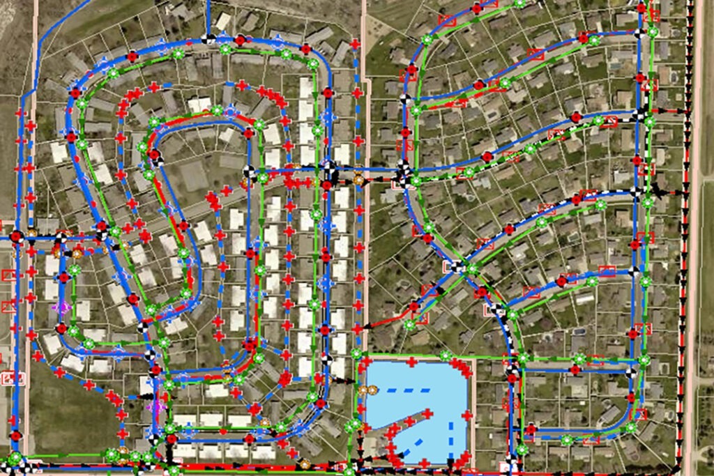
This project objective was to provide the City with a centralized and user-friendly GIS program that could be used to maintain the ongoing growth of the community and its utility needs in a manner that could include asset management.
Located just south of the Sioux City, Iowa metropolitan area, the City of Sergeant Bluff, Iowa has seen substantial growth in infrastructure, planning and zoning activities and the number of building permits, along with a boom in economic development and job creation in recent years. These factors contributed to the City’s need for a more accurate utility mapping program, as well as a centralized system to keep track of maintenance and operational activities. The City wanted a program that would be user friendly and ultimately provide accurate data to their engineers.
SAM (formerly Midland GIS Solutions) was selected by the City of Sergeant Bluff in 2013 to GPS locate and map their sanitary sewer, water, electric and storm water utility networks and develop a GIS program for use in utility maintenance and management. Our team utilized mapping-grade GPS technology to GPS locate electric utility features. Additionally, RTK Survey-grade technology was utilized to GPS locate sewer, water and storm water networks. Full inspections were conducted on the sewer and storm water networks.
The City had maintained a large and fairly complete library of as-built drawings and paper maps prior to implementing their GIS program. However, the accuracy of this data was limited and the data was only viewable on one computer in the Public Works department. Today, Sergeant Bluff has an accurately mapped system of their entire utility infrastructure, complete with attribute and inspection data that can be utilized in engineering modeling projects.
All of the City’s utility GIS data was integrated into ours Integrity™ web GIS platform and gives the City staff a secure and user-friendly application to easily access and update utility information.


